Topography
The topography of the land has a wonderful variety of micro climates that range from areas that remain wet for most of the year across the stream to the top of the ridge and back down into our ravine.


I love maps & topography. Early on I wanted to make a 3D map of our land. A very accurate elevation map would also come in handy when looking to site a home.
Originally, I had a quote from our surveyor to do a LIDAR (Light Detection and Ranging) scan with a drone or plane. Oddly the plane came in a few hundred dollars cheaper but the cost was still going to be several thousand dollars.
New York has been slowly creating LIDAR scans of the state and offering it for free which was release just in time for us. After wrestling with the data, which came in very large chunks, I was finally able to use a trial version of ARC GIS software to extract just what we needed.
To the left is image from the LIDAR scan with color indicating elevation. Just above center and to the right a little you can see a line made by the yellow color. This is our ravine. The gap in the line in where our road crosses the ravine. Amazingly the resolution of the scan is high enough to make out rock walls.


With the data set for just our land and a lot of patience I was able to turn it into a clean 3 dimensional surface that could be printed on my Makerbot printer.
(click on image to enlarge)


From the data I was able to pull detailed elevation lines that fall every 10 inches of elevation.
(click on image to enlarge)


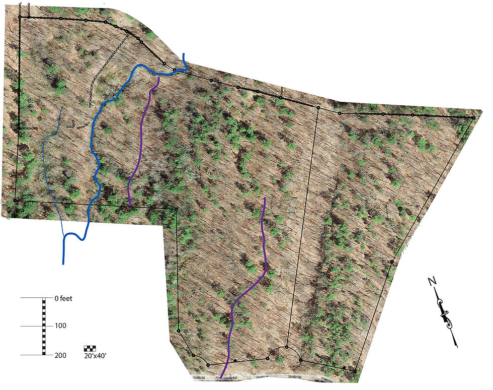
It is also amazing what you can learn from google. The lot lines in google were not very accurate but combining our survey with the satellite imagery from google gave a very nice top down view of our lot.
(click on image to enlarge)

